 El Paso Move Guide
Where it is
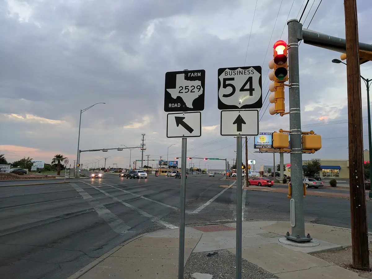
The Northeast sits between the Franklin Mountains on the west and Fort Bliss on the east, with US-54 (the Patriot Freeway) running up the middle and Dyer Street as the older commercial strip beside it. Transmountain Road (Loop 375) crosses the mountains to the West Side at the top; Hondo Pass, Diana and Fred Wilson are the east-west streets you will use. The measurements below start at Dyer and Hondo Pass.
What the housing looks like
Most of the Northeast was built between the 1950s and the 1980s, in waves that followed the post. That means single-story brick and stucco homes with carports or single garages, mature trees, and lots that are generally larger than the newer East Side sections. Homeowners associations are rare outside the newest sections. Along the northern edge, toward the state park and Painted Dunes, subdivisions built since the 2000s add two-story plans, two-car garages and HOAs. Duplexes and small apartment buildings line Dyer and the streets closest to post.
Prices. Per square foot, the Northeast is generally among the lower-priced older housing inside the city limits, and the spread between a 1960s original and a renovated one on the same street is wide. We do not print a band; ask for a dated MLS snapshot for your budget, or run the home-value report if you own here.
The drive
The Northeast's argument is the gate table. From Dyer and Hondo Pass the CSM Pena Gate on US-54 is 10 minutes, and all nine gates route between 10 and 19 minutes. Downtown is 21 minutes down the freeway. The cost is the East Side: I-10 at Darrington is 33 minutes, and the East Side retail corridors are on the far side of post.
| Destination | Miles | Drive |
|---|---|---|
| Downtown El Paso (San Jacinto Plaza) | 13.3 mi | 21 min |
| Nearest Fort Bliss gate — CSM Pena Gate (US-54 North) | 6 mi | 10 min |
| MSgt. Pena Gate, Fort Bliss (East Bliss) | 9.2 mi | 14 min |
| El Paso International Airport | 12.8 mi | 23 min |
| UTEP | 15.3 mi | 25 min |
| Medical Center of the Americas | 12.2 mi | 19 min |
| Cielo Vista Mall / The Fountains | 14.4 mi | 23 min |
Everyday
- Retail. Grocery, pharmacies and fast food along Dyer and Hondo Pass; larger retail at Dyer and Diana and along US-54; the Cielo Vista shopping district is 23 minutes south.
- Hospitals. William Beaumont Army Medical Center's new campus is on post off Spur 601, east of the Northeast; civilian hospitals are Providence Memorial and University Medical Center in the Medical Center of the Americas district (19 minutes) and The Hospitals of Providence Transmountain Campus across the mountain.
- Parks and trails. Franklin Mountains State Park trailheads on the west edge, McKelligon Canyon and its amphitheater, Painted Dunes Desert Golf Course and the Northeast Regional Park area on the north edge.
- Schools. El Paso ISD serves the Northeast. Use the district's zone lookup for the specific address.
New construction here
New building in the Northeast is concentrated along the northern edge, north of Transmountain and toward the Painted Dunes area, by regional and national builders. We do not currently list new construction here; the builders page explains how we find comparable new homes by any builder, and the Fort Bliss PCS guide covers how a VA loan works on a new build versus a resale.
Rent or buy here
The Northeast is where buying tends to beat renting soonest, for two reasons. Purchase prices per square foot are the lowest in the city, so the payment on a resale home with a small down payment is often at or below the rent on the same house. And because the stock is older, there is real room to add value with a roof, refrigerated air and a kitchen, which a renter cannot capture. The catch is exactly that age: budget for the inspection items in the box below, and for the first year of repairs, before you compare payments. If your time here is under two years, the transaction costs still favour renting. The home-value report is the quickest read on what a renovated home here is worth.
Verify before you decide
None of this is a substitute for checking the specific address. For any home here, pull these yourself or ask us to pull them with you:
- On older homes: roof age and material, the sewer line (a camera inspection is cheap here), galvanized or polybutylene supply lines, the electrical panel, evaporative-cooler versus refrigerated-air, and any foundation movement in the desert clay.
- The attendance zone for the exact address, using the district's own lookup: El Paso ISD. Zones change block to block and are redrawn; do not rely on a listing remark or on this post. The TEA school district locator shows which district a parcel sits in.
- FEMA flood map for the parcel, and the lender's flood-zone determination once you are under contract. Several arroyos cross the Northeast from the mountains to the freeway.
- The current tax bill and every taxing entity on it at El Paso Central Appraisal District, including any municipal utility district, public improvement district or emergency services district that adds to the rate.
- City of El Paso GIS / zoning viewer for the zoning of neighbouring parcels, especially near Dyer and the post boundary.
- Whether the home has an HOA at all; many here do not. If it does: HOA documents (declaration, bylaws, current budget, and any pending special assessment) requested from the seller under the Texas Property Code resale-certificate process.
Drive times are typical no-traffic estimates produced by a routing engine from the centre point named in the table and will differ from your actual commute. Inventory counts and prices shown in live blocks come from our listings feed at the moment the page loads and are subject to change without notice. School districts, utility providers, hospitals and retail are named as facts about the area, not as endorsements, and every one of them should be confirmed for a specific address. Nothing here is financing, legal, tax or investment advice. All information is deemed reliable but not guaranteed. El Paso Move Guide is committed to equal housing opportunity.