 El Paso Move Guide
Where it is
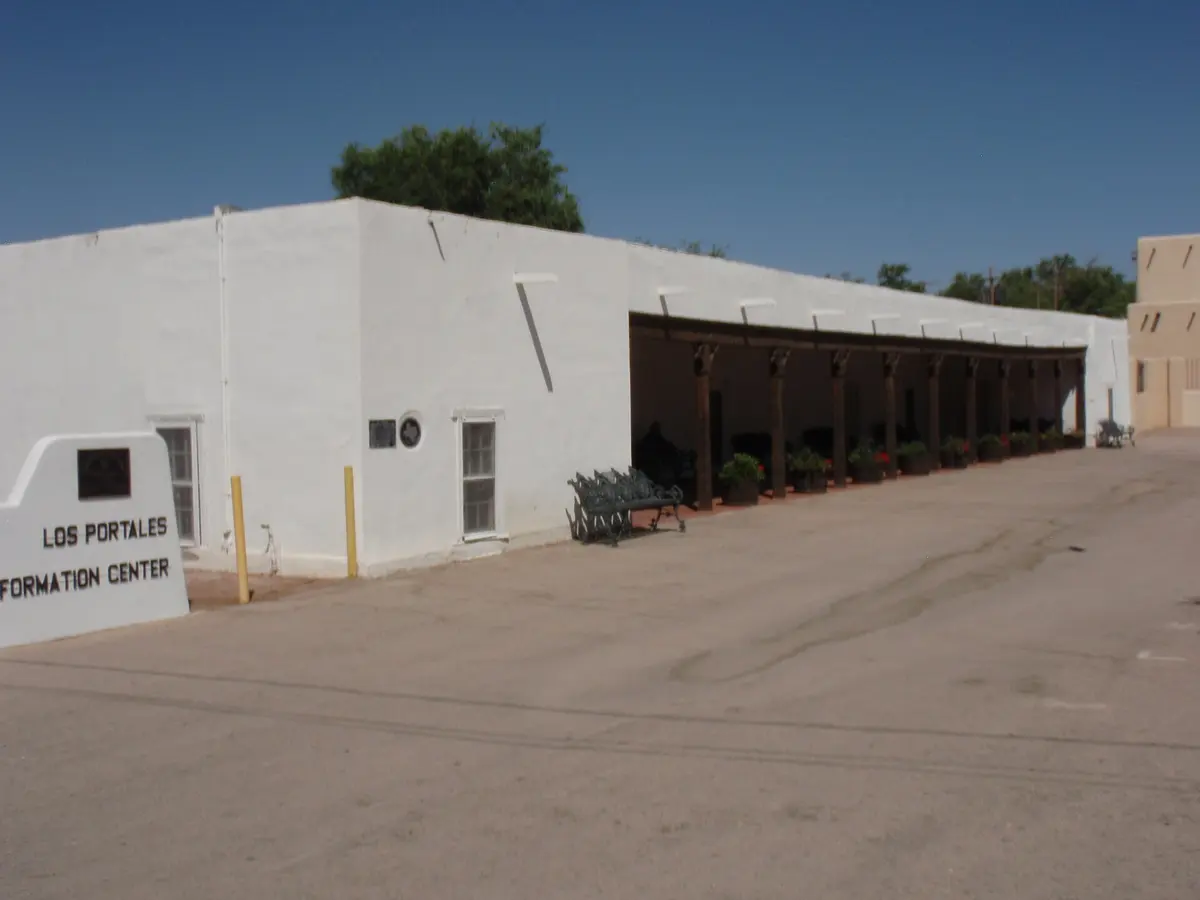
Clint is a small town in the far Lower Valley south-east of El Paso, past Socorro and San Elizario, where the county turns to pecan orchards, cotton fields and the flood plain of the Rio Grande. Alameda Avenue (SH 20) is its main street, FM 1110 connects it to I-10 on the north and San Elizario on the south, and Fabens is the next town down the valley. Most of the land around the town is unincorporated county. Measurements below start at Alameda and FM 1110.
What the housing looks like
Parcels are bigger and building is slower. Site-built homes from every decade sit next to manufactured homes on owned land and next to working agricultural parcels, and new subdivisions are the exception rather than the rule; the ones that exist are small and sit close to Alameda or the freeway. An acre or more is common, fences and outbuildings are the norm, homeowners associations are almost non-existent, and a good share of homes are on septic and private wells. Manufactured homes here can be excellent value, but the financing and title rules differ from a site-built house, and the box below covers them.
Prices. Land is what you are pricing. Per acre, land here generally prices below subdivision lots in the city, and a site-built home on an acre here often lists below an equivalent house on a city lot; ask for a dated MLS land snapshot. Ask us for a dated MLS snapshot by parcel size and home type, or run the home-value report if you own here.
The drive
This is the farthest of the seven areas from the city: 32 minutes to Downtown and 35 to the Pena Gate with no traffic, and the nine gates route between 32 and 36 minutes. I-10 at Darrington is 12 minutes up FM 1110, and the Clint exit itself is closer for anything west. Alameda is the slower, older way in through the valley.
| Destination | Miles | Drive |
|---|---|---|
| Downtown El Paso (San Jacinto Plaza) | 22 mi | 32 min |
| Nearest Fort Bliss gate — Buffalo Soldier Gate | 23.2 mi | 32 min |
| MSgt. Pena Gate, Fort Bliss (East Bliss) | 24.5 mi | 35 min |
| I-10 at Darrington Rd (exit 37) | 8.6 mi | 12 min |
| El Paso International Airport | 23.8 mi | 38 min |
| UTEP | 24.7 mi | 37 min |
| Medical Center of the Americas | 23 mi | 31 min |
| Cielo Vista Mall / The Fountains | 20 mi | 27 min |
Everyday
- Retail. Grocery, a pharmacy, feed and farm supply, and fast food along Alameda in Clint and Fabens; everything else is a short drive up the road in Horizon City or Socorro.
- Hospitals. The Hospitals of Providence Horizon City Campus is the closest 24-hour emergency room; the East Campus on Joe Battle is the nearest large hospital.
- Parks and history. The San Elizario historic district and plaza next door, the Rio Grande levee roads, and the Mission Trail running back up the valley to Socorro and Ysleta.
- Utilities. Water, sewer and trash in and around Clint come from the Lower Valley Water District; outside its lines, wells and septic. Electricity is El Paso Electric.
- Schools. Clint ISD serves the town and most of the surrounding valley, with Fabens ISD down the valley. Check the exact parcel with the district lookup.
New construction here
New homes here are one at a time: a site-built custom home or a new manufactured home placed on a purchased parcel. That means a lot purchase, a survey, a septic permit and a well or a water tap before the house itself, and a construction or chattel loan rather than an ordinary mortgage. We can pull current land listings for the valley, and the builders page explains how the loan works.
Rent or buy here
People come here for land and room, and that is what the money should be judged on. Rentals are scarce and mostly informal, so if you need to rent, Socorro and Horizon City are where the inventory is. If you buy, the purchase price of a home on an acre is often the least expensive way to own that much ground in the county; what you take on instead is the drive, the maintenance of a well, a septic system and fencing, and a slower resale when you leave, because the buyer pool for acreage is smaller. Plan on staying, and plan the due diligence below before you close. If you own here, the home-value report will ask about the acreage, the water and the improvements before it gives a number.
Verify before you decide
None of this is a substitute for checking the specific address. For any home here, pull these yourself or ask us to pull them with you:
- Water: a Lower Valley Water District tap, or a private well with its permit, depth, recent flow test and water-quality test.
- Sewer: Lower Valley Water District service or an on-site septic system permitted under the TCEQ on-site sewage (septic) rules through El Paso County environmental permitting; get the permit, the as-built and a pumping inspection.
- Irrigation: water rights and the assessment to the El Paso County Water Improvement District No. 1, and where the ditch right of way crosses the parcel.
- FEMA flood map for the parcel, and the lender's flood-zone determination once you are under contract. Much of the valley floor is a mapped flood zone behind the levees.
- On a manufactured home: that it is titled as real property with the Texas Department of Housing and Community Affairs, sits on a permanent foundation, and that the land is deeded with it, all of which affect which loan products are available. Confirm with a lender who finances manufactured homes; we can introduce you to two.
- the existing survey and the title commitment, read for easements, irrigation-ditch rights of way and utility lines, read for agricultural leases and access easements to neighbouring fields.
- The current tax bill and every taxing entity on it at El Paso Central Appraisal District, including any municipal utility district, public improvement district or emergency services district that adds to the rate. Ask specifically about an agricultural or open-space valuation and the rollback tax if the use changes.
- The attendance zone for the exact address, using the district's own lookup: Clint ISD, Fabens ISD. Zones change block to block and are redrawn; do not rely on a listing remark or on this post. The TEA school district locator shows which district a parcel sits in.
Drive times are typical no-traffic estimates produced by a routing engine from the centre point named in the table and will differ from your actual commute. Inventory counts and prices shown in live blocks come from our listings feed at the moment the page loads and are subject to change without notice. School districts, utility providers, hospitals and retail are named as facts about the area, not as endorsements, and every one of them should be confirmed for a specific address. Nothing here is financing, legal, tax or investment advice. All information is deemed reliable but not guaranteed. El Paso Move Guide is committed to equal housing opportunity.